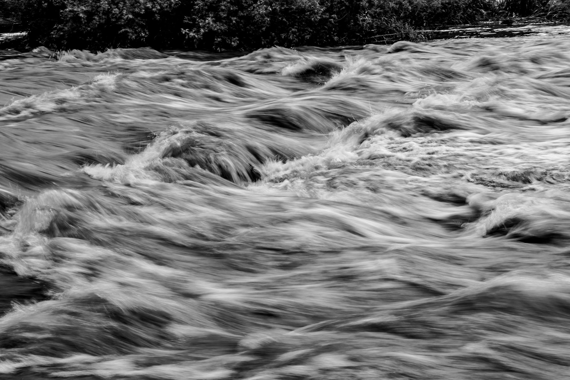
1862
It happened.
Sacramento goes under. The new governor travels to his own inauguration by rowboat. The legislature moves to San Francisco.
The 1862 floodHi, I’m Jim Francis. I started this site to help educate the public about the coming Arkstorm and how to prepare for it.
I first heard about these megastorms in 1981. In the decades since, I’ve met only a couple of people who had even heard of them, and no one who really knew anything about them. How can you be concerned and prepare for something you know nothing about... I want to change that, but I realize the difficulty.
Everything today is sold to us through fear and anger, from the news to social media, and so many people have just tuned out the daily end-of-the-world stories. Learning about the coming Arkstorm might be alarming at first, but when you take action and prepare, emotional fear turns into logical concern. So, are you ready...
Megastorms have been hitting the west coast of North America for thousands of years. A team of scientists assembled by the U.S. Geological Survey (USGS) states that the next one, the Arkstorm, will be the costliest natural disaster in world history. My goal is to make sure it isn’t also the costliest in human lives.
The USGS Arkstorm study looks only at California, now the 4th largest economy in the world, because if California goes down, the whole country and much of the world will feel the effects. The last storm, in 1861–62, hit all seven western states (CA, OR, WA, AZ, NV, UT, ID). It reached from northern Baja and Sonora, Mexico, all the way to southern British Columbia, Canada. Add up the damage across all of those regions and the number is mind-boggling. By my own estimate, we are in the multi-trillion dollar range now...
On this site, we’ll break it all down. We’ll explain what a megastorm is, look at the ten megastorms recorded between AD 212 and 1862, and most importantly focus on the coming Arkstorm and how to best prepare for it.
Megastorms have come hundreds of times over thousands of years, long before anyone was keeping records and long before anyone inhabited these lands. These storms typically come every 100 to 200 years. However, the last four came within a 257-year period starting in 1605. The 1605 storm was the largest in over two thousand years, followed by storms in 1750, 1810, and 1861–62. The 1861–62 storm, the most recent on record, is the one science knows the most about, with photographs and news articles to support the research.
Another one will happen. It’s not a matter of if, but when. What’s different now is who will be impacted. In the 1861–62 flood, about 400,000 people lived in California. The death toll was over 4,000, and it bankrupted the state. Today almost 40 million people live in California, and more than 3 million homes and buildings sit in the Arkstorm flood plain. One in four buildings in California could be damaged by flooding, anywhere from six inches of mud to being submerged in twenty feet of water.
It gets worse... According to the National Flood Insurance Program (NFIP), only about 1.5% of California’s single-family residential homes have flood insurance. And get this: the federal government caps residential flood coverage at just $250,000 for the building and $100,000 for the contents. How is that going to work in California, with a median home price of around $900,000...
None of this is guesswork. Scientists working with the USGS have measured the severity of these storms from core samples taken at the Santa Barbara Basin, San Francisco Bay, the Sacramento Valley and the Klamath Mountains. Those core samples were then carbon dated, and that gave us the precise dates of these storms.
Also, the Tribal Nations of California, who have inhabited this region for thousands of years, have passed down accounts of these storms through oral tradition. They saw firsthand that the Central Valley of California could become an inland sea over 300 miles long and over 50 miles wide. They described it as reaching from mountain to mountain, what we would call the Coast Range to the Sierra today.
I am building a library here to gather all known information about the megastorms and megafloods that have hit the west coast of North America, along with the history and future of the Arkstorm. This library will keep growing, and new studies, articles, and my take will be added regularly.
Kids, parents, and teachers are more than welcome to use anything here for school projects or research. I want to make sure this information is easy for anyone to find and use. Just reference Arkstorm.org so you can help get the word out. You can make a difference...
The U.S. Geological Survey produced this short film alongside its first ARkStorm study. It covers California only and it shows its age. It’s still the best short introduction there is.
Video: U.S. Geological Survey with Designmatters at ArtCenter College of Design, played from the USGS YouTube channel. We skip the closing card that sends viewers to Arkstorm.com, because that site is gone. The credits still play.
Sacramento goes under. The new governor travels to his own inauguration by rowboat. The legislature moves to San Francisco.
The 1862 floodA team of 117 experts works out what the same kind of storm would do to modern California. They call it ARkStorm.
The 2011 studyClimate scientists re-run the storm for a warmer world. The update projects 200% to 400% more runoff, with over $1 trillion in damage in California.
The 2022 updateLayers of silt show floods this size in 212, 440, 603, 1029, about 1300, 1418, 1605, 1750, 1810 and 1861–62. The last one was more than 160 years ago.
The storm of 1861–62 hit what are now seven western states, plus Mexico and Canada. The ARkStorm studies cover California only. We start with Arizona.
BBC Science Focus on the megaflood risk and how ready California is.
The simulations behind the 2022 study were opened to other researchers and won DesignSafe’s 2023 Dataset Award.
Huang and Swain, in Science Advances. The first part of ARkStorm 2.0.
FEMA’s flood maps only go back to the late 1960s. See whether an address sits where the water went in 1862.
Official flood maps, planning guides and alerts from FEMA and the National Weather Service, in one short list.
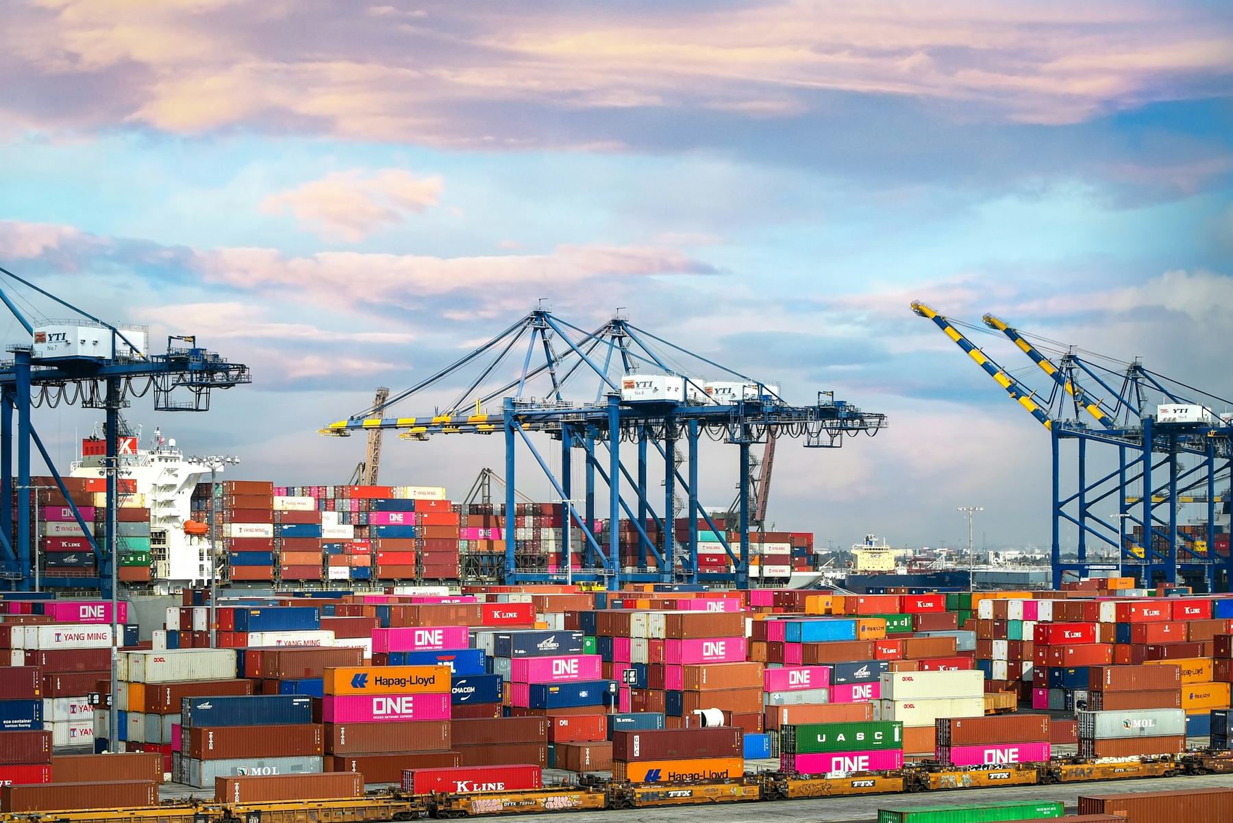
In Los Angeles County, the Los Angeles River, the San Gabriel River and the Dominguez Channel carry most of it to San Pedro Bay, at the foot of the ports of Los Angeles and Long Beach. We estimate it would cost more than $1 trillion just to repair the destruction there. It’s one of more than 100 places our founder is mapping.
USGS wrote ARkStorm for emergency planners, utility operators and policymakers. Its 2011 film points the public to Arkstorm.com. That site is no longer maintained. USGS told us the reason was funding.
ARkStorm.org is an independent, non-political effort to keep that information public: everything known about ARkStorm in one place, explained plainly and updated as new work is published.
Email updates are coming soon. Until then, write to us at info@arkstorm.org.